 www.geodatenkatalog.de (S1F)
Keyword
hyperspectral sensing
3 record(s)
Provided by
Type of resources
Available actions
Topics
Keywords
Contact for the resource
Update frequencies
-
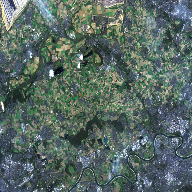
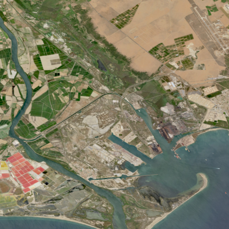
The hyperspectral instrument DESIS (DLR Earth Sensing Imaging Spectrometer) is one of four possible payloads of MUSES (Multi-User System for Earth Sensing), which is mounted on the International Space Station (ISS). DLR developed and delivered a Visual/Near-Infrared Imaging Spectrometer to Teledyne Brown Engineering, which was responsible for integrating the instrument. Teledyne Brown designed and constructed, integrated and tested the platform before delivered to NASA. Teledyne Brown collaborates with DLR in several areas, including basic and applied research for use of data. DESIS is operated in the wavelength range from visible through the near infrared and enables precise data acquisition from Earth's surface for applications including fire-detection, change detection, maritime domain awareness, and atmospheric research. The spatial resolution is about 30m on ground. DESIS is sensitive between 400nm and 1000nm with a spectral resolution of about 3.3nm. Experimental products like the Forward Motion Compensation allow to observe the same area on ground by continuous rotating the mirror during forward motion. For more information concerning DESIS the reader is referred to https://www.dlr.de/eoc/en/desktopdefault.aspx/tabid-13614/
-
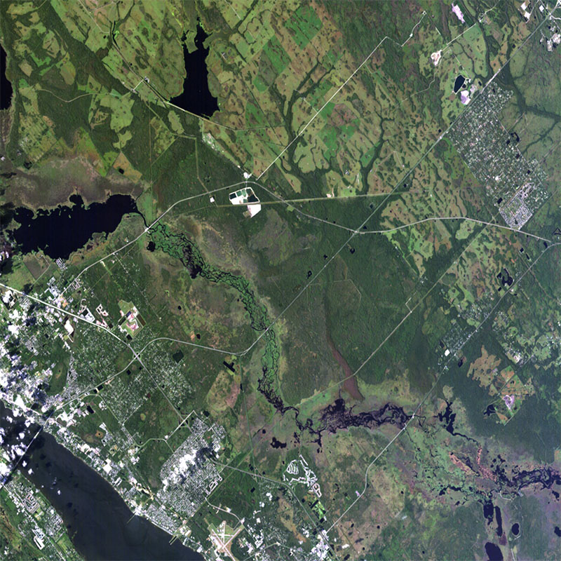
The hyperspectral instrument DESIS (DLR Earth Sensing Imaging Spectrometer) is one of four possible payloads of MUSES (Multi-User System for Earth Sensing), which is mounted on the International Space Station (ISS). DLR developed and delivered a Visual/Near-Infrared Imaging Spectrometer to Teledyne Brown Engineering, which was responsible for integrating the instrument. Teledyne Brown designed and constructed, integrated and tested the platform before delivered to NASA. Teledyne Brown collaborates with DLR in several areas, including basic and applied research for use of data. DESIS is operated in the wavelength range from visible through the near infrared and enables precise data acquisition from Earth's surface for applications including fire-detection, change detection, maritime domain awareness, and atmospheric research. Three product types can be ordered, which are Level 1B (systematic and radiometric corrected), Level 1C (geometrically corrected) and Level 2A (atmospherically corrected). The spatial resolution is about 30m on ground. DESIS is sensitive between 400nm and 1000nm with a spectral resolution of about 3.3nm. DESIS data are delivered in tiles of about 30x30km. For more information concerning DESIS the reader is referred to https://www.dlr.de/eoc/en/desktopdefault.aspx/tabid-13614/
-
The Environmental Mapping and Analysis Program (EnMAP) is a German hyperspectral satellite mission that aims at monitoring and characterising the Earth's environment on a global scale. EnMAP measures and models key dynamic processes of Earth’s ecosystems by extracting geochemical, biochemical and biophysical parameters that provide information on the status and evolution of various terrestrial and aquatic ecosystems. The mission's main objective is to study and decipher coupled environmental processes and to assist and promote the sustainable management of Earth's resources. This collection includes Level 0 quicklook images of the mission. For more information, please see the mission website: https://www.enmap.org/mission/